Holderness is situated on the east coast of England in an area of the East Riding of Yorkshire. Rich in agricultural land and farming traditions the relatively flat, low-lying Holderness Plain is bounded by the Wolds of Yorkshire to the north and west, the Humber Estuary to the south and the North Sea to the east. In spite of recent population increases over half of Holderness inhabitants continue to live in communities classed as rural.
Marshland until the Middle Ages, Holderness was drained to reveal a Devensian glacial rich fertile soil that continues to support intensive arable cultivation to the present day.
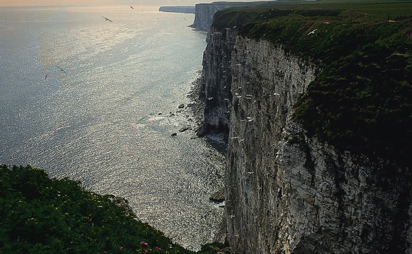
The coast of Holderness suffers from the highest rate of coastal erosion in Europe with approximately 3 miles of land lost to the sea since the Roman era. However, despite the constant battle to stop the rapid erosion the Department of Energy and Climate Change have granted a licence for Underground Coal Gasification to take place along the Holderness Coast; the impact of which could greatly exacerbate an already serious situation for those residents witnessing their homes falling prey to the sea.
The geology of Holderness has also provided two natural storage forms for gas; underground caverns and offshore facilities. Developed in the 1990’s by British Gas the system of underground gas storage caverns lie in a salt strata over 1,500m below ground. The storage caverns can only be created in suitable geological strata such as that of the Zechstein Salt Basin which has been found to occur in only a few locations along the coastal fringe of north-eastern England.
On 01 July 2008 Petroleum Exploration and Development Licence (PEDL) 183 was awarded to Rathlin Energy (UK) Limited with an initial term end date of 30 June 2016. A second term end date was set at 30 June 2019 with an anticipated licence end date of 30 June 2039. PEDL 183 blocks cover an area of 241,000 acres.
